Medion MD 98540 -PNA X4545 Handleiding
Bekijk gratis de handleiding van Medion MD 98540 -PNA X4545 (30 pagina’s), behorend tot de categorie Navigatie. Deze gids werd als nuttig beoordeeld door 42 mensen en kreeg gemiddeld 4.6 sterren uit 8 reviews. Heb je een vraag over Medion MD 98540 -PNA X4545 of wil je andere gebruikers van dit product iets vragen? Stel een vraag
Pagina 1/30
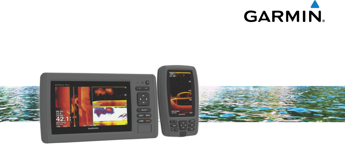
echoMAP™ 40/50/70/90 Series
Owner’s Manual
December 2014Printed in Taiwan190-01834-00_0B
Product specificaties
| Merk: | Medion |
| Categorie: | Navigatie |
| Model: | MD 98540 -PNA X4545 |
Heb je hulp nodig?
Als je hulp nodig hebt met Medion MD 98540 -PNA X4545 stel dan hieronder een vraag en andere gebruikers zullen je antwoorden
Handleiding Navigatie Medion

5 Juni 2022
23 April 2022
6 Juni 2022
17 Augustus 2022
17 Augustus 2022
22 April 2022
6 Juni 2022
7 Juni 2022
5 Juni 2022
6 Juni 2022
Handleiding Navigatie
Nieuwste handleidingen voor Navigatie
7 Maart 2024
7 Maart 2024
7 Maart 2024
7 Maart 2024
7 Maart 2024
16 Oktober 2023
13 Oktober 2023
7 Oktober 2023
7 Oktober 2023
7 Oktober 2023