Garmin GPSMAP 943xsv Handleiding

Garmin GPS apparaat GPSMAP 943xsv

Lees hieronder de 📖 handleiding in het Nederlandse voor Garmin GPSMAP 943xsv (96 pagina's) in de categorie GPS apparaat. Deze handleiding was nuttig voor 58 personen en werd door 2 gebruikers gemiddeld met 4.5 sterren beoordeeld

Pagina 1/96
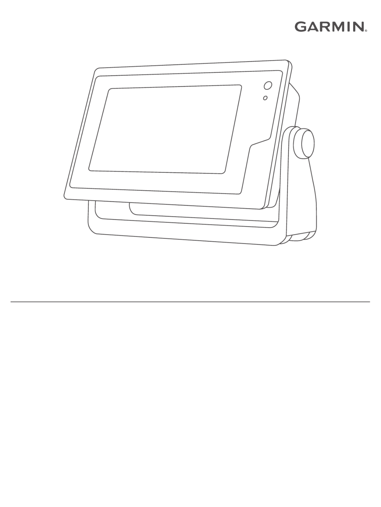
GPSMAP® MANUALOWNER'S
7x2, 9x2, 12x2 Touch, A12, 7x2 Plus, 9x2 Plus, 12x2 Plus,
7x3, 9x3, 12x3
© 2019 Garmin Ltd. or its subsidiaries
All rights reserved. Under the copyright laws, this manual may not be copied, in whole or in part, without the written consent of Garmin. Garmin reserves the right to change or improve its
products and to make changes in the content of this manual without obligation to notify any person or organization of such changes or improvements. Go to for current updates www.garmin.com
and supplemental information concerning the use of this product.
Garmin®, the Garmin logo, ActiveCaptain®, ANT®, BlueChart®, Fusion®, GPSMAP®, inReach®, Ultrascroll®, and VIRB® are trademarks of Garmin Ltd. or its subsidiaries, registered in the USA and
other countries. ActiveCaptain®, Apollo™, Connect IQ™, ECHOMAP™, Fantom™, Fusion-Link™, Fusion PartyBus™, Garmin ClearVü™, Garmin Connect™, Garmin Express™, Garmin Nautix™,
Garmin Quickdrawâ„¢, GCâ„¢, GCVâ„¢, GMMâ„¢
, GMRâ„¢, GRIDâ„¢, GXMâ„¢, LiveScopeâ„¢, MotionScopeâ„¢, OneChartâ„¢, OneHelmâ„¢, Panoptixâ„¢, Reactor â„¢, Shadow Driveâ„¢, SmartModeâ„¢, and SteadyCastâ„¢
are trademarks of Garmin Ltd. or its subsidiaries. These trademarks may not be used without the express permission of Garmin.
Apple® and Mac® are trademarks of Apple Inc., registered in the U.S. and other countries. Android ™ is a trademark of Google™ Inc. The BLUETOOTH® word mark and logos are owned by the
Bluetooth SIG, Inc. and any use of such marks by Garmin is under license. CZone ™ is a trademark of Power Products, LLC. Color Thermal Vision ™ is a trademark of FLIR Systems, Inc. FLIR ®
and MSX® are registered trademarks of FLIR Systems, Inc. HDMI ® is a registered trademark of HDMI Licensing, LLC. NMEA ®, NMEA 2000®, and the NMEA 2000 logo are registered trademarks
of the National Marine Electronics Association. microSD ® and the microSD logo are trademarks of SD-3C, LLC. Optimus ®, SeaWays®, and SeaStation ®
are registered trademarks of Dometic ®. SD®
and the SDHC logo are trademarks of SD-3C, LLC. SiriusXM ® and all related marks and logos are trademarks of Sirius XM Radio Inc. All rights reserved. Wi Fi‑® is a registered mark of Wi-Fi
Alliance Corporation. Windows ® is a registered trademark of Microsoft Corporation in the United States and other countries. Yamaha ®
, the Yamaha logo, Command Link Plus®, and Helm Master®
are trademarks of the YAMAHA Motor Co., LTD. All other trademarks and copyrights are the property of their respective owners.
Table of Contents
Introduction.....................................................................1
Device Overview......................................................................... 1
GPSMAP 7x2/7x2 Plus and GPSMAP 9x2/9x2 Plus
Connector View......................................................................1
GPSMAP 12x2 Touch/A12/12x2 Plus Connector View......... 1
GPSMAP 7x3 and GPSMAP 9x3 Connector View ................ 1
GPSMAP 12x3 Connector View............................................ 1
Using the Touchscreen.......................................................... 2
On-Screen Buttons................................................................ 2
Locking and Unlocking the Touchscreen............................... 2
Tips and Shortcuts...................................................................... 2
Accessing Owner's Manuals on the Chartplotter........................ 2
Downloading the Manuals from the Web.................................... 2
Garmin Support Center...............................................................2
Memory Cards............................................................................ 2
Inserting Memory Cards (GPSMAP 7x2/9x2/12x2
Touch/A12/7x2 Plus/9x2 Plus/12x2 Plus).............................. 3
Inserting Memory Cards (GPSMAP 7x3/9x3/12x3) ............... 3
Acquiring GPS Satellite Signals.................................................. 3
Selecting the GPS Source..................................................... 3
Customizing the Chartplotter........................................ 3
Home Screen.............................................................................. 3
Adding an Item to Favorites................................................... 4
Customizing the Home Screen.............................................. 4
Customizing Pages..................................................................... 4
Customizing the Layout of a SmartMode or Combination
Page .......................................................................................4
Changing the Background Image .......................................... 4
Customizing the Startup Screen............................................ 4
Recommended Startup Image Dimensions...................... 4
Adding a SmartMode Layout................................................. 4
Creating a New Combination Page....................................... 4
Deleting a Combination Page................................................ 5
Customizing the Data Overlays............................................. 5
Resetting the Station Layouts ................................................ 5
Presets........................................................................................ 5
Saving a New Preset............................................................. 5
Managing Presets.................................................................. 5
Setting the Vessel Type.............................................................. 5
Adjusting the Backlight............................................................... 5
Adjusting the Color Mode........................................................... 5
Turning On the Chartplotter Automatically ................................. 5
Enabling Screen Lock................................................................. 5
Automatically Turning Off the System........................................ 6
ActiveCaptain App......................................................... 6
ActiveCaptain Roles................................................................... 6
Getting Started with the ActiveCaptain App............................... 6
Enabling Smart Notifications .......................................................6
Receiving Notifications...........................................................6
Managing Notifications...........................................................7
Making Notifications Private ...................................................7
Updating Software with the ActiveCaptain App.......................... 7
Updating Charts with ActiveCaptain ........................................... 7
Communication with Wireless Devices........................ 7
Wi Fi Network............................................................................. 7‑
Setting Up the Wi Fi Wireless Network .................................. 7‑
Connecting a Wireless Device to the Chartplotter................. 8
Changing the Wireless Channel............................................ 8
Changing the Wi Fi Host........................................................ 8‑
Wireless Remote Control............................................................ 8
Pairing the Wireless Remote Control With the
Chartplotter............................................................................ 8
Turning On and Off the Remote Backlight............................. 8
Disconnecting the Remote from All Chartplotters.................. 8
Wireless Wind Sensor................................................................ 8
Connecting a Wireless Sensor to the Chartplotter................. 8
Adjusting the Wind Sensor Orientation.................................. 8
Viewing Boat Data on a Garmin Watch...................................... 8
Viewing Boat Data on a Garmin Nautixâ„¢ Device ...................... 8
Charts and 3D Chart Views........................................... 9
Navigation Chart and Fishing Chart........................................... 9
Zooming In and Out Using the Touchscreen......................... 9
Chart Symbols....................................................................... 9
Measuring a Distance on the Chart....................................... 9
Creating a Waypoint on the Chart..........................................9
Viewing Location and Object Information on a Chart ............ 9
Viewing Details about Navaids.............................................. 9
Navigating to a Point on the Chart....................................... 10
Premium Charts........................................................................ 10
Fish Eye 3D Chart View....................................................... 10
Viewing Tide Station Information......................................... 10
Animated Tide and Current Indicators............................ 10
Showing Tides and Current Indicators............................ 11
Showing Satellite Imagery on the Navigation Chart ............ 11
Viewing Aerial Photos of Landmarks................................... 11
Automatic Identification System................................................ 11
AIS Targeting Symbols........................................................ 11
Heading and Projected Course of Activated AIS Targets .... 11
Activating a Target for an AIS Vessel.................................. 12
Viewing Information about a Targeted AIS Vessel......... 12
Deactivating a Target for an AIS Vessel......................... 12
Viewing a List of AIS and MARPA Threats.......................... 12
Setting the Safe-Zone Collision Alarm ................................. 12
AIS Aids to Navigation......................................................... 12
AIS Distress Signals............................................................ 12
Navigating to a Distress Signal Transmission ................. 12
AIS Distress Signal Device Targeting Symbols.............. 13
Enabling AIS Transmission Test Alerts ........................... 13
Turning Off AIS Reception................................................... 13
Chart Menu............................................................................... 13
Chart Layers........................................................................ 13
Chart Layer Settings....................................................... 13
Depth Layer Settings....................................................... 13
My Vessel Layer Settings................................................13
Laylines Settings............................................................. 14
User Data Layer Settings................................................ 14
Other Vessels Layer Settings..........................................14
Water Layer Settings.......................................................14
Depth Range Shading ..................................................... 14
Weather Layer Settings................................................... 14
Radar Overlay Settings................................................... 15
Chart Settings...................................................................... 15
Fish Eye 3D Settings........................................................... 15
Supported Maps....................................................................... 15
Garmin Quickdraw Contours Mapping....................... 15
Mapping a Body of Water Using the Garmin Quickdraw
Contours Feature...................................................................... 15
Adding a Label to a Garmin Quickdraw Contours Map ............ 15
Garmin Quickdraw Community................................................. 16
Connecting to the Garmin Quickdraw Community with
ActiveCaptain....................................................................... 16
Downloading Garmin Quickdraw Community Maps Using
ActiveCaptain.................................................................. 16
Sharing Your Garmin Quickdraw Contours Maps with the
Garmin Quickdraw Community Using ActiveCaptain ...... 16
Connecting to the Garmin Quickdraw Community with
Garmin Connect................................................................... 16
Sharing Your Garmin Quickdraw Contours Maps with the
Garmin Quickdraw Community Using Garmin Connect .. 16
Table of Contents i


Product specificaties

Merk: Garmin
Categorie: GPS apparaat
Model: GPSMAP 943xsv

Heb je hulp nodig?

Als je hulp nodig hebt met Garmin GPSMAP 943xsv stel dan hieronder een vraag en andere gebruikers zullen je antwoorden


Handleiding GPS apparaat Garmin

Handleiding GPS apparaat

Nieuwste handleidingen voor GPS apparaat